Public participation on the draft GIS Policy and Manual 2025 and the draft GIS Data Collection Manual Policy 2025.

The County Government of Vihiga through the Directorate of Geographic Information Systems (GIS) today held a specialized public participation on the draft GIS Policy and Manual 2025 and the draft GIS Data Collection Manual Policy 2025.
The Vihiga County GIS Policy and Manual 2025 is comprehensive and will cater for committees that deal with GIS, how to collect data and how to use the data for decision making.
The policy is a bold and transformative framework that positions Geographic Informative Systems as a strategic pillar for planning, governance, service delivery and inclusive development.
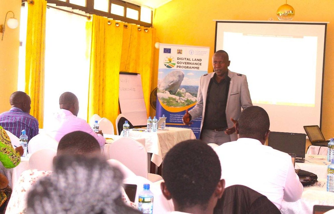
Sponsored by the Food and Agriculture Organization of the United Nations (FAO) under the Digital Land Governance program, the policy’s core objectives include;
✅ Institutionalize GIS operational in all departments by establishing focal points and interdepartmental coordination protocols within 12 months of policy ratification.
✅ Standardize spatial data collection, storage, metadata and coordinate systems with 100% compliance across departments within 18 months.
✅ Establish a centralized County Spatial Data Repository (CSDR) with atleast 50 datasets catalogued, validated and accessible to authorized users within the first year.
✅ Launch a public facing GIS portal with atleast 15 layers of non-sensitive data accessible by the public, CSOs and researchers within 18 months.
✅ Train 80% of technical staff and departmental GIS champions on data governance, metadata, mapping tools and spatial analytics within 2 years.
✅ Integrate GIS with atleast 3 county level systems (e.g budget tracking, infrastructure projects, land management) by end of year 2.
✅ Develop and implement a spatial monitoring framework to track CDIP and ADP progress through geospatial indicators by year 3.
✅ Establish GIS protocols for disaster risk and climate resilience mapping including early warning systems in at least two sub counties in year 3.
✅ Use GIS operations in County revenue collections, revenue streams mapping, monitoring and evaluation.
✅ Achieve compliance with the Data Protection Act (2019) by conducting annual data privacy audits and establishing clear access controls for sensitive spatial data.
On the other hand, the GIS Data Collection Manual provides a comprehensive and standardized framework to guide the collection, management, sharing and utilisation of geospatial data across the County.
+4
All reactions:

7

Leave a Reply

Your email address will not be published.

Share This

Copy Link to Clipboard

Copy